Saturday, January 21, 2017

#Project365: The Alaska Highway!

Wow, I finally made it to the Alaska Highway! I had carried this dream of traveling on the Alaska Highway, also known as the Alcan Highway, for a very long time. At first, I simply wanted to visit Alaska at some point. This came about in the 1990's probably around '94 or '95. Then, later, I watched a program about the building of the Alcan Highway and decided that "someday" I would travel it. The sheer distances involved required a minimum of about 3 weeks if one wanted to actually see much more than the highway itself (from Fort Wayne). I logged 11,300 miles on my journey; although I didn't stick to just the highway itself. I had put this trip off for many years simply because of the time requirements and the fact that I figured that Alaska would always be there and I could go whenever I wanted. I also had many other areas that I wanted to visit that were more convenient to get to. Alas, in 2015, wildfires destroyed millions of acres of forests not only in the lower contiguous states; but also many forests in Canada and Alaska. Combine this with the fact that Alaska, along with all other Arctic and Antarctic areas are changing faster than any other part of the world due to climate change; and I realized that time was running out to see Alaska as it is now. For anyone who really wants to see Alaska, now is the time to do it!

I realized that 3 weeks would be cutting it short and I also wanted to visit some friends along the way, so I finally settled on 5 weeks. HA! I probably could have spent 5 MONTHS and STILL not gotten to see everything I wanted, but that is a whole different story. This whole #Project365 story is actually about LIVING NOW and enjoying nature. We all put things off; but so many of us use the same type of logic (or should I say, lack thereof) to procrastinate things we really should not procrastinate.

So, without further ado; here are today's pictures! The first four are from a small waterfall named Rancheria Falls; and it has a boardwalk for most of the distance to the waterfall from the parking lot.


These next pictures were taken at Whitehorse, on the Yukon River, of the SS Klondike:


.


The mighty Yukon River:


More tomorrow!

Friday, January 20, 2017

#Project365: Into the Wilderness Part 2

Yesterday I explained how I was moving into very isolated territory in northern British Columbia and today I will continue that theme with some stunning photos along the way. While I came upon more small towns along this next stretch than the day before, I was still in VERY remote areas. I passed about 20 cars along the road between Kitwanga and Bell II. I passed considerably more cars on this particular stretch, but still less than 100 for the day on my way to Nugget City at the junction of Dease Lake Highway and the Alaska Highway in the Yukon Territory.


These pictures below came from Boya Lake Provincial Park:


BC 37 between Boya Lake and the border is very remote:


Forest fires are common here; but it was still somewhat haunting to drive for miles and miles through a forest of dead trees:


The border with the Yukon Territory:


Here is what my campground looked like at Nugget City:


Thursday, January 19, 2017

#Project365: Into the Wilderness

I have actually been in the wilderness for quite some time; spending most of my time away from much in the sense of cities, towns, or urban sprawl. However, up until now there had at least been towns to obtain gas, food, or other necessary items every once in a while. Where I was headed now is REALLY out of the way. I was about to travel from Smithers to Kitwanga and once leaving there wouldn't have any roadside services along BC 37 (Cassiar Highway) until I reached Meziadin Junction. Here's a map of Kitwanga:
http://goo.gl/maps/icRPA55vznE2

Once leaving Kitwanga, it would be 245 kilometers (152 miles) to the campground with nothing but a gas station and convenience store at Meziadin Junction about halfway through the journey.


Some of the bridges along the route are single lane:


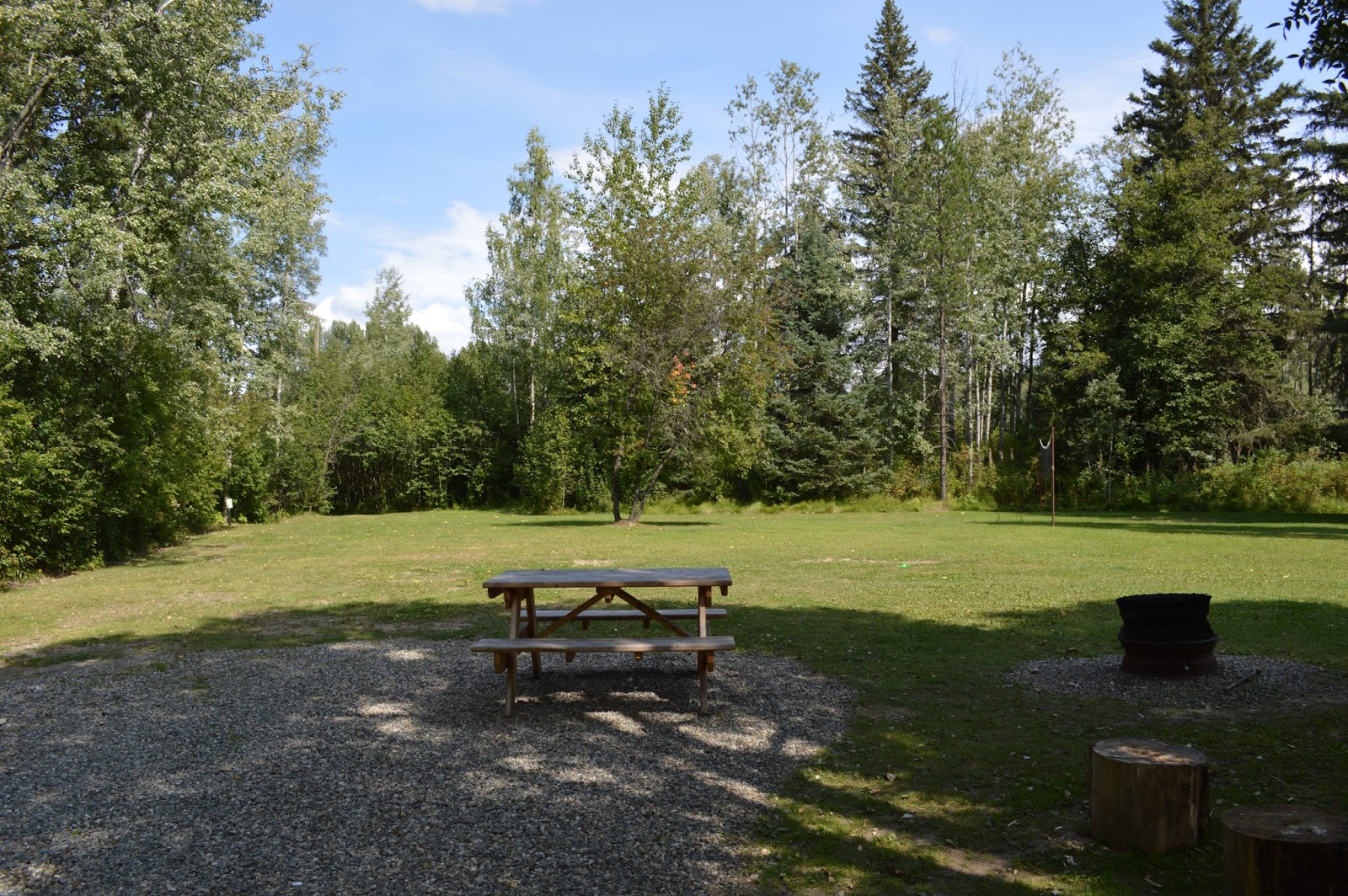
I came upon a nice little picnic area here:


This is along the back of the campground; I investigated beyond this area where some trails go quite some distance back into the woods, but  since I was by myself I didn't get too far away from the campground. Coming upon a bear wouldn't be my idea of a fun time.


The campground also features a motel, laundry, exercise room, hot tub, restaurant, ice cream parlor, and small store along with a gas station.


This Lodge/Campground even features a helipad! In the winter, it features a sport called "heliskiing" which consists of a helicopter taking participants to a location where the skiing is good, dropping them off for a few hours and then returning later to pick them up. This was the ONLY campground during my entire trip that had a helipad. I even got a short video of a helicopter take-off here on our Treasured Traditions page on Facebook: 


Wednesday, January 18, 2017

#Project365: Glacier View

For most of my trip so far, I had been eating dried fruit, nuts, and granola for breakfast; so I decided since I would be passing through Prince George that I would stop at McDonald's for some scrambled eggs. Alas, when I arrived, the McDonald's was still closed. ARGH! It was after 6:00 AM, so I figured that things are different in Canada. At Telkwa, I discovered a nice little picnic area along the Bulkley River:


Not too much further was Smithers, which is where my campground was located just north of the city. Hudson Bay Mountain is just to the southwest of the campground, which is aptly named Glacier View.


Tomorrow and Friday I will explore the vast interior mountains of British Columbia far away from civilization.

Tuesday, January 17, 2017

#Project365: Boston Bar to Hixon

Heading north from Boston Bar, I drove into quite a long, rocky canyon that the Fraser and Thompson Rivers have carved out. McCleese Lake turned out to be a nice rest stop:


Hixon is a small town not too far south of Prince George along the Cariboo Highway. My campground was the Canyon Creek Campground and had lots of beautiful flowers, trails, and apparently a resident black bear!


Monday, January 16, 2017

#Project365: Chilliwack Lake Provincial Park

After leaving Leon's, I was on for a wild ride. The route to Vernon from Edgewood is pretty remote with narrow sections (including a single lane bridge or two) and some hairpin curves and switchbacks. What the route doesn't have with regard to a fast trip it more than makes up for with scenery. Right across from Keefer Lake Resort is Lost Lake Rest Area where I took these two photos:


I finally made it to my next destination before lunchtime; Chilliwack. This time I was meeting another friend who wanted to see Chilliwack Lake. It was quite a drive up the mountain; but just like earlier in the morning, I was rewarded with quite an experience and awesome views.


I sat on the log in the bottom photo while eating my lunch and enjoying the spectacular view. For more info about this park, visit: http://www.env.gov.bc.ca/bcparks/explore/parkpgs/chilliwack_lk/.

After visiting, I made my way north to my campground at Boston Bar for the night.