
Friday, June 30, 2017
Thursday, June 29, 2017

Wednesday, June 28, 2017

Tuesday, June 27, 2017

Monday, June 26, 2017

Sunday, June 25, 2017

Saturday, June 24, 2017

Friday, June 23, 2017

Thursday, June 22, 2017

Wednesday, June 21, 2017

Tuesday, June 20, 2017

Monday, June 19, 2017

Sunday, June 18, 2017

Saturday, June 17, 2017

Friday, June 16, 2017

Thursday, June 15, 2017

Wednesday, June 14, 2017

Tuesday, June 13, 2017

Monday, June 12, 2017

Sunday, June 11, 2017

Saturday, June 10, 2017

Friday, June 9, 2017

Thursday, June 8, 2017

Wednesday, June 7, 2017

Tuesday, June 6, 2017

Monday, June 5, 2017

Sunday, June 4, 2017
#Project365: Special Edition - Gatlinburg part 4
Today's edition displays a portion of the downtown area close to the main street through town, US 441. One area that I did not go into was the ski area to the west of the city and high above the downtown portion of Gatlinburg. As I mentioned yesterday, I was affected very dramatically and moved to tears by what I was taking pictures of and knew from earlier stories in the news that a good portion of the entire area had been obliterated. This was as close as I got; one can see that the building at the top of the sky lift is gone.


Of COURSE I would have to get some shots of the chapels where so many marriages have taken place! This is a "before" shot:

Of the Gatlinburg Chapels that existed, only three remain:


Here is a "before" shot on the street the chapels face:

Here is what it looks like now:

Here's a closer shot of the hill in the above picture:

Here is a shot of the what's left of the Brevard Inn:


Here are more "before" (Google Maps shots) and "after" shots:


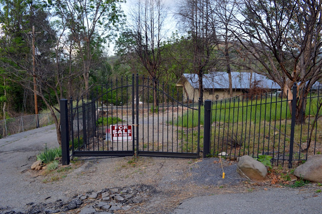


Here are the remains of what looks to be a house behind a mini-golf entertainment area just off the main drag; picture taken from Holly Ridge Road:

Had the two teenagers who started these fires not been playing with matches in Smoky Mountain National Park near the Chimney Tops Trail, it is possible that this destruction may not have happened. However, as climate change continues to accelerate (remember, climate change is exponential; not linear), these kinds of fires can be expected almost anywhere. All it takes is a lightning strike, drought, and high winds to cause a serious problem.


Of COURSE I would have to get some shots of the chapels where so many marriages have taken place! This is a "before" shot:

Of the Gatlinburg Chapels that existed, only three remain:


Here is a "before" shot on the street the chapels face:

Here is what it looks like now:

Here's a closer shot of the hill in the above picture:

Here is a shot of the what's left of the Brevard Inn:


Here are more "before" (Google Maps shots) and "after" shots:


Here are the remains of what looks to be a house behind a mini-golf entertainment area just off the main drag; picture taken from Holly Ridge Road:

Had the two teenagers who started these fires not been playing with matches in Smoky Mountain National Park near the Chimney Tops Trail, it is possible that this destruction may not have happened. However, as climate change continues to accelerate (remember, climate change is exponential; not linear), these kinds of fires can be expected almost anywhere. All it takes is a lightning strike, drought, and high winds to cause a serious problem.
Subscribe to:
Posts (Atom)