My next adventure awaited me at Mesa Falls, the site of a large waterfall and where Big Falls Inn, which was originally built as an office and residence for Mesa Power, is located. The plans were originally to build a hydroelectric plant here when the Snake River Electric Light and Power Company owned it. However, this never came about; more than likely due to its remoteness. Montana Power Company bought it from Mesa Power in 1936, and it has served as many different buildings since then. I found the history of this place quite intriguing.
After enjoying myself at Mesa Falls, my mood darkened. Behind this sign is where the Tetons are; unfortunately, due to the forest fires, one cannot see them clearly. Underneath this picture is another where one can almost make them out in the distance. Understanding the importance of this fact, I became a bit worried about whether I might have to detour around any fires....
Here is a picture of the Tetons which is better but still quite hazy; this one taken just north of Driggs, Idaho.
Once I arrived at my campground, I discovered the fact that there were fires in the mountains to the southwest of my location just outside of Victor, ID. This was the Tie Fire and the helicopters assigned to it could be seen dumping water on the fires from the campground. Having reservations at a campground so close to active fires was worrisome to me. Embers blowing in the wind can wreak havoc elsewhere and there were farms, animals, and lots of trees nearby that would be affected.
As I was doing a bit of research for this story, I came upon some new information that I found to be a bit demoralizing. One might think that 2016 was just a crazy year for wildfires. Unfortunately, this is a growing problem that is only getting worse year by year. For instance, JUST FOR THE MONTH OF JANUARY, check out this information from the National Interagency Fire Center that shows that the number of fires so far this year is 2,459 and the number of acres involved is 54,961. The annual average over the past decade is 1,760 fires during the same period with 37,122 acres involved. Needless to say, we are on track for another wild year fire-wise.
Stay tuned for some more beautiful pictures tomorrow!
Saturday, February 4, 2017
Friday, February 3, 2017
#ProjectAlaska: Flesher Pass, Canyon Ferry Lake, and Earthquake Lake
Now that I have mentioned a few of the risks of traveling in the mountains; and you have seen the haze from the smoke of forest fires, I will share my growing anxiety with you as I continued south towards the western side of Yellowstone National Park; where I knew there were fires burning.
I had stayed in Lincoln, Montana and was leaving from a picture perfect campground there located right next to a babbling brook which was soooo relaxing. This is what was right outside the van:
I had no idea what lay ahead as I took off, heading over a mountain between Lincoln and Helena. I arrived at Flesher Pass to witness this scene:
As you can see in the first two pictures, the smoke and haze makes for beautiful pictures. The picture above shows precisely one of the many reasons there are so many wildfires year after year - millions of acres of dead trees; many of them pines killed by pine beetles courtesy of climate change.
As I moved on, I came upon this scene at Canyon Ferry Lake. The second picture shows just how smoky it is here, as one can barely see the mountains in the distance:
Here is a good picture showing part of the landslide that created Earthquake Lake:
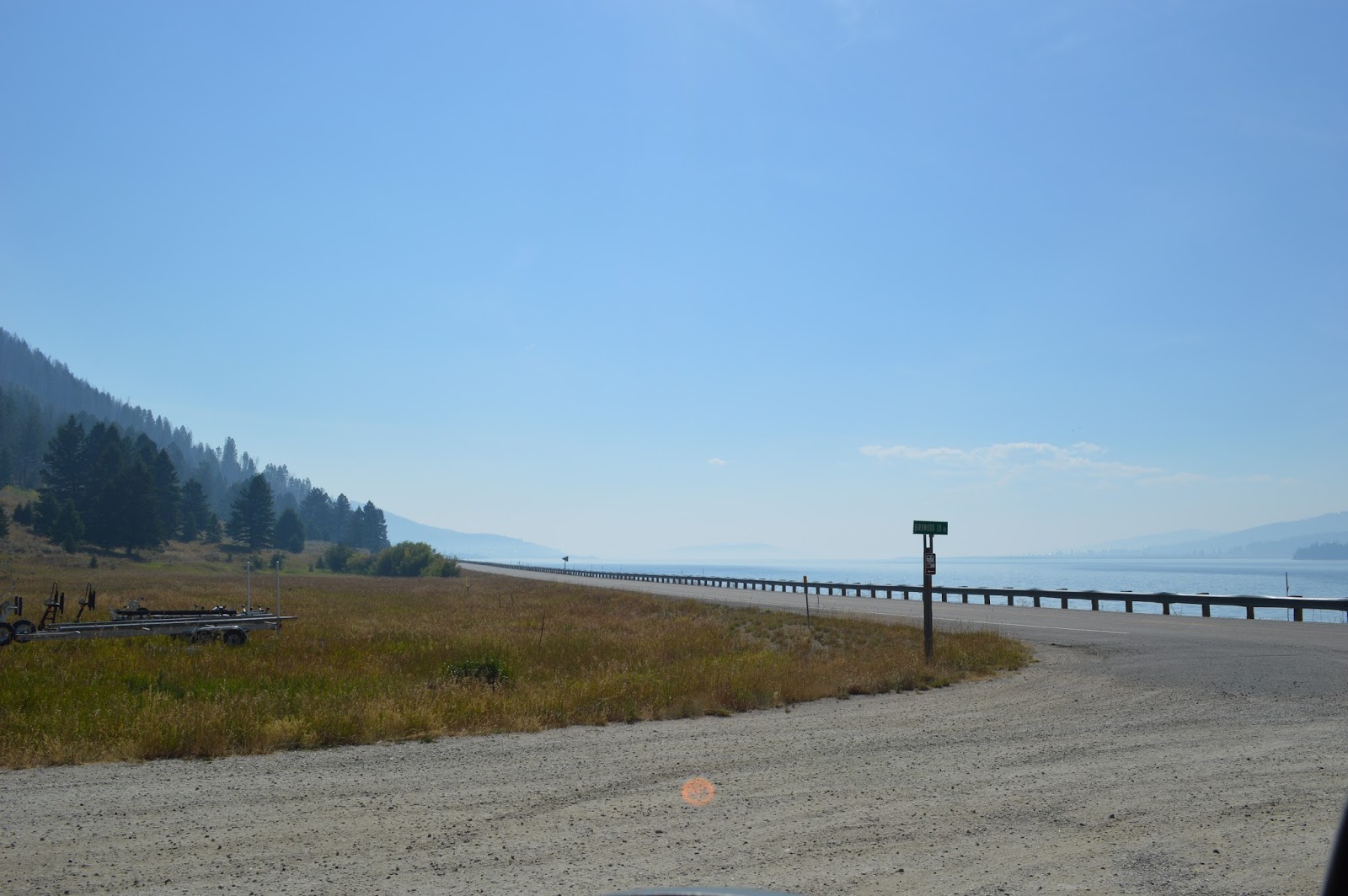
These last two pictures show just how smoky it was at Hebgen Lake:
I had stayed in Lincoln, Montana and was leaving from a picture perfect campground there located right next to a babbling brook which was soooo relaxing. This is what was right outside the van:
I had no idea what lay ahead as I took off, heading over a mountain between Lincoln and Helena. I arrived at Flesher Pass to witness this scene:
As you can see in the first two pictures, the smoke and haze makes for beautiful pictures. The picture above shows precisely one of the many reasons there are so many wildfires year after year - millions of acres of dead trees; many of them pines killed by pine beetles courtesy of climate change.
As I moved on, I came upon this scene at Canyon Ferry Lake. The second picture shows just how smoky it is here, as one can barely see the mountains in the distance:
A friend mentioned something that brought my attention to another issue about this trip that I found rather glaring as well. This was how quiet it was in the woods and forests. I am used to hearing the scampering of small animals like chipmunks, squirrels, and birds. Don't get me wrong, I still heard them; but I'm used to hearing far more of these critters. I'm talking about areas I have been to several times over the years; and the result was the same across the board. Despite having actually watched videos from Bernie Krause showing evidence of this, I had never experienced it for myself. This trip really was turning out to be one of the most joyful but also one of the saddest trips I have been on.
One of the places I had wanted to see on my trip with my dad in 2012 was Earthquake Lake west of Yellowstone National Park. I'm not exactly certain of why the road to West Yellowstone was blocked off the day my dad and I came north from Old Faithful to head west, but due to this we had no choice but to continue north along US 89 through the park to Livingston, Montana. Park Rangers were directing all traffic to the right at the intersection where US 20, 191, and 89 split on the west side of the park. Unbeknownst to my dad and me, waiting up the road on US 89 was a huge wildfire that had US 89 closed south of Livingston with a detour on SR 540 on the east side of the Yellowstone River...some wild times that year for sure! So I was making sure to visit Earthquake Lake this time around. Due to the fires last summer, the pictures are a bit hazy and smoky.
Here is a good picture showing part of the landslide that created Earthquake Lake:
These last two pictures show just how smoky it was at Hebgen Lake:
Tomorrow I will have some scenic pictures from Mesa Falls, in Idaho!
Labels:
#ProjectAlaska,
Canyon Ferry Lake,
Earthquake Lake,
Flesher Pass,
Hebgen Lake,
Helena,
Idaho,
Lincoln,
Livingston,
Mesa Falls,
Montana,
West Yellowstone,
wildfires,
Yellowstone National Park
Thursday, February 2, 2017
#ProjectAlaska: Glacier National Park
Yesterday, I mentioned some facts about Glacier NP along with some of my experiences of the park. Today, I will continue with my stories; adding the fact that while I was absolutely overjoyed at coming back to the park, I was also greatly saddened to see such marked changes in just 8 years. This series of pictures starts out just below Logan Pass on the east side and then progresses west and then south along Lake McDonald to Lake McDonald Lodge.
Tomorrow you will see the smoke get thicker and thicker as I get closer to active forest fires...I had actually avoided any serious trouble along the trip (up to this point) with regard to weather and other issues for the most part, which I was elated NOT having to deal with any detours. Traveling out west has become more fraught with danger over the past decade, with rock, mud, and landslides, floods, wildfires, electrical outages, and heatwaves becoming much more frequent and almost unavoidable. Over the past 5 years, EVERY SINGLE TRIP has had at least one of these situations I had to deal with. In 2012, the Going To The Sun Road (which is the road that traverses Glacier National Park) was taken out by 2 separate landslides which stranded a few visitors. This happened the day before my dad and I were supposed to visit there, and was the second time I was unable to visit the park (see this post for the first time).
Sad to say, 2012 was actually a rather crazy year; as my dad and I fought several different situations all on the same trip. During the first part of the trip we fought a heatwave with temperatures up to 109 degrees (F). Then the landslides at Glacier NP. A hailstorm in Idaho almost landed us into the back of a log truck on I-90. Electrical power in the northeastern part of Washington State had been taken out from powerful thunderstorms that were a part of the same system that caused the hailstorm in Idaho, so finding a gas station that could actually dispense gasoline or sell anything was a challenge. As if that wasn't enough, while we were in Everett (just north of Seattle), a disaster unfolded which stopped our trek dead in its tracks. My dad developed chest pain which resulted in him needing to be taken to a local hospital emergency room! I was really frightened by this turn of events, but luckily, they released him about 14 hours after he was admitted. Despite all these setbacks, this was still an iconic trip for me, as I had never before spent two weeks with my dad on a trip like this.
Anyway, back to last summer's trip. This series of pictures starts out just below Logan Pass on the east side and then progresses west and then south along Lake McDonald to Lake McDonald Lodge.
Shortly after visiting McDonald Lodge, I came upon this sign:
Here is what it looks like now:
Wednesday, February 1, 2017
#ProjectAlaska: Back Into the USA
After thoroughly enjoying my travel on the Alaska Highway, it was time for me to discover a few new (and old, for that matter) places in my own country. I originally visited Glacier National Park in 2008 after a failed attempt to visit there in 2006. The 2006 attempt failed due to the Red Eagle Fire and the road going to the entrance on the east side of the park was closed.
My visit to Glacier NP in 2008 was one of sheer joy. At the time, I didn't realize just how quickly the glaciers here were melting. At the time, it was believed that the glaciers would be gone by 2030.
Fast forward to 2016. To now realize that most if not all the glaciers in Glacier National Park will now be gone by 2020 was a shock, to put it mildly. Areas which were covered in snow in 2008 had no snow whatsoever in 2016. Areas which were lush and green in 2008 were full of gray, dead trees; killed by pine beetles and other invasive insects or burned out by wildfires. Upon arriving in St. Mary the night before I was to traverse the park, there was a haziness caused by wildfires burning hundreds of miles to the south (which I would get to experience firsthand as I made my way south). You can see it here in this picture:
Luckily, no fires were burning at the time near the park; and the winds shifted overnight clearing the skies somewhat the next morning. Still, the pictures here contain a lot of haze that isn't usually here during times of calm with no wildfires. Here is a picture of Saint Mary Lake showing Wild Goose Island:
Finally, a couple of last pictures for today. I will save for tomorrow the bulk of the pictures in the high country near Logan Pass.
My visit to Glacier NP in 2008 was one of sheer joy. At the time, I didn't realize just how quickly the glaciers here were melting. At the time, it was believed that the glaciers would be gone by 2030.
Fast forward to 2016. To now realize that most if not all the glaciers in Glacier National Park will now be gone by 2020 was a shock, to put it mildly. Areas which were covered in snow in 2008 had no snow whatsoever in 2016. Areas which were lush and green in 2008 were full of gray, dead trees; killed by pine beetles and other invasive insects or burned out by wildfires. Upon arriving in St. Mary the night before I was to traverse the park, there was a haziness caused by wildfires burning hundreds of miles to the south (which I would get to experience firsthand as I made my way south). You can see it here in this picture:
Luckily, no fires were burning at the time near the park; and the winds shifted overnight clearing the skies somewhat the next morning. Still, the pictures here contain a lot of haze that isn't usually here during times of calm with no wildfires. Here is a picture of Saint Mary Lake showing Wild Goose Island:
Just a couple of pictures of what wildfires have done over the past decade:
Finally, a couple of last pictures for today. I will save for tomorrow the bulk of the pictures in the high country near Logan Pass.
Tuesday, January 31, 2017
#ProjectAlaska: Taylor to Innisfail
The scenery turned to a more familiar theme upon coming onto the plains of Alberta - back to flat land. As such, I didn't get many pictures. This is the Peace River Bridge at Taylor located where my campground was. The remaining three pictures were taken at a park where Napoleon Lake is located in Innisfail.
Subscribe to:
Posts (Atom)