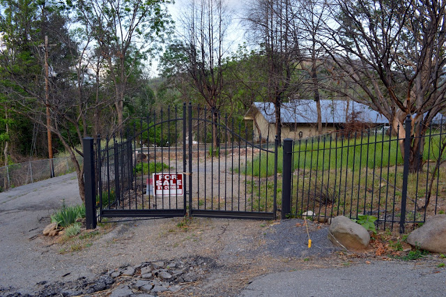
Of COURSE I would have to get some shots of the chapels where so many marriages have taken place! This is a "before" shot:
Of the Gatlinburg Chapels that existed, only three remain:
Here is a "before" shot on the street the chapels face:
Here is what it looks like now:
Here's a closer shot of the hill in the above picture:
Here is a shot of the what's left of the Brevard Inn:
Here are more "before" (Google Maps shots) and "after" shots:
Here are the remains of what looks to be a house behind a mini-golf entertainment area just off the main drag; picture taken from Holly Ridge Road:
Had the two teenagers who started these fires not been playing with matches in Smoky Mountain National Park near the Chimney Tops Trail, it is possible that this destruction may not have happened. However, as climate change continues to accelerate (remember, climate change is exponential; not linear), these kinds of fires can be expected almost anywhere. All it takes is a lightning strike, drought, and high winds to cause a serious problem.


No comments:
Post a Comment