Yesterday I explained how I was moving into very isolated territory in northern British Columbia and today I will continue that theme with some stunning photos along the way. While I came upon more small towns along this next stretch than the day before, I was still in VERY remote areas. I passed about 20 cars along the road between Kitwanga and Bell II. I passed considerably more cars on this particular stretch, but still less than 100 for the day on my way to Nugget City at the junction of Dease Lake Highway and the Alaska Highway in the Yukon Territory.
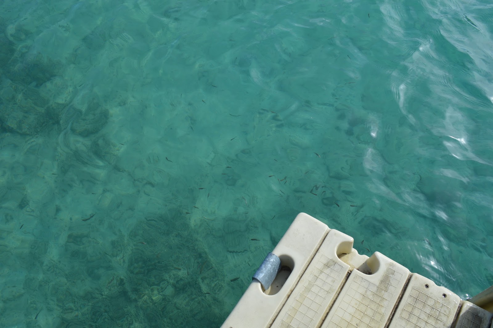
These pictures below came from Boya Lake Provincial Park:
BC 37 between Boya Lake and the border is very remote:
Forest fires are common here; but it was still somewhat haunting to drive for miles and miles through a forest of dead trees:
The border with the Yukon Territory:
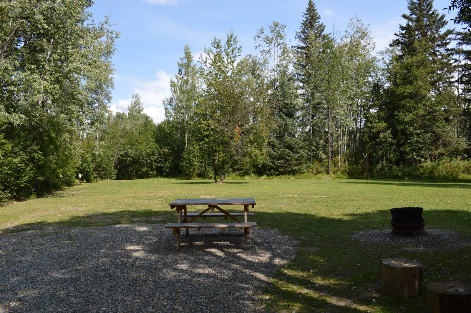
Here is what my campground looked like at Nugget City:
Showing posts with label British Columbia. Show all posts
Friday, January 20, 2017
Tuesday, January 17, 2017
#Project365: Boston Bar to Hixon
Heading north from Boston Bar, I drove into quite a long, rocky canyon that the Fraser and Thompson Rivers have carved out. McCleese Lake turned out to be a nice rest stop:
Hixon is a small town not too far south of Prince George along the Cariboo Highway. My campground was the Canyon Creek Campground and had lots of beautiful flowers, trails, and apparently a resident black bear!
Saturday, January 14, 2017
#Project365: Crowsnest Pass, the mighty Columbia River, and Whatshan Lake
Today wraps up the first leg of the story of my voyage, ending at a friend's farm in British Columbia and giving me some rest from driving. After crossing the seemingly endless hay fields surrounding Pincher Creek, Alberta, I came to an interesting historic place called, "Leitch Collieries," which used to be a coal mining operation. The operation came to a halt during WWI due to financing issues.
You can learn more about this park here: http://history.alberta.ca/leitch/
As I continued up to the pass, I discovered more interesting sites (including the Frank Slide [http://history.alberta.ca/frankslide/]) and came upon this old mining building:
In fact, I am still learning more about this trip even now. As I traveled through the Crowsnest Pass, I went from Alberta to British Columbia.
I continued through Salmo and many other small towns along the way.
Eventually I made it to Nakusp and the Columbia River where BC 6 turns south and heads to Fauquier where the ferry crosses the Columbia River.
This was the first time I had been on a ferry, so it was a unique experience for me.
Once I was across the river, it was a short drive to my destination near Whatshan Lake where my friend lives. What an adventure this had been so far!
Subscribe to:
Posts (Atom)